A hurricane like storm off the coast of Alaska is expected to help bring snowfall to Wisconsin on Monday, mainly in the southern part of the state.
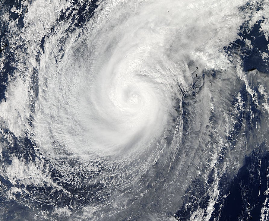
What’s left of Typhoon Nuri is hitting the Aleutian Islands with the intensity of 2012’s “Superstorm Sandy,” with gusts of up to 96 miles per hour and 50-foot waves, according to the National Weather Service. The remnants of the storm could merge with the existing weather pattern and help bring colder temperatures to Wisconsin next week, according to Mike Breunling, the meteorologist for ABC affiliate WAOW-TV in Wausau.
“As that low-pressure system that was once a super-typhoon kind of loses its tropical storm identity … the influence of it would be to help to pull down some cool air from Canada, and to kind of make that cold air pattern entrenched over the Great Lakes region for much of next week,” said Breunling.
Stay informed on the latest news
Sign up for WPR’s email newsletter.
With the cold temperatures would come the first significant snow of the year. Breunling said that it looks like the worst of it will hit southern Wisconsin.
“Roughly the southern half of the state will have the best chance to receive snow from that system Monday and into Tuesday,” said Breunling. “A system like this potentially could produce 4 to 6 inches or so, maybe more, of snowfall.”
Breunling said that it’s hard to say if the snow will accumulate, given that the ground is still relatively warm.
By next Thursday, temperatures in central Wisconsin are expected to drop to the mid-teens.
Wisconsin Public Radio, © Copyright 2024, Board of Regents of the University of Wisconsin System and Wisconsin Educational Communications Board.