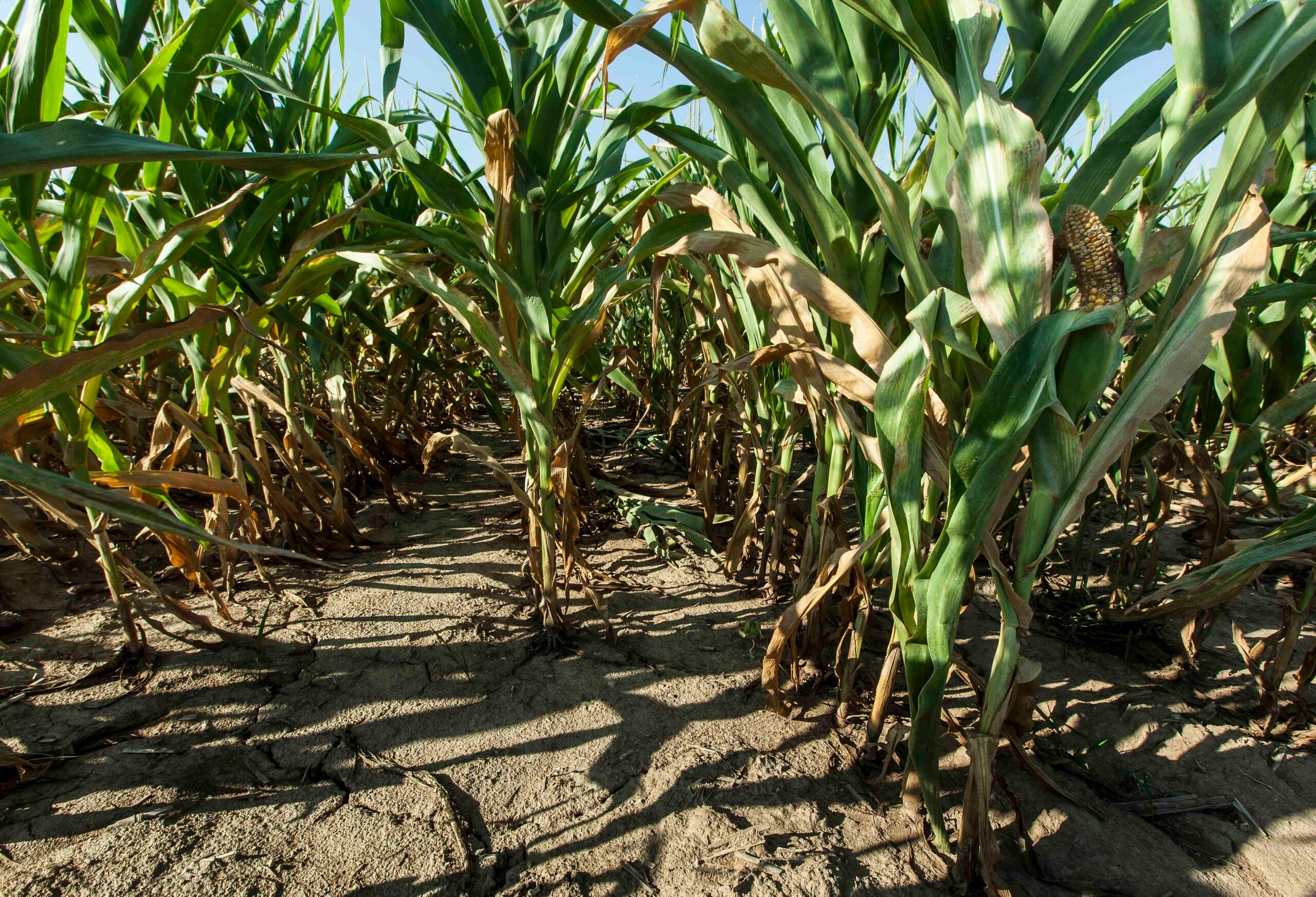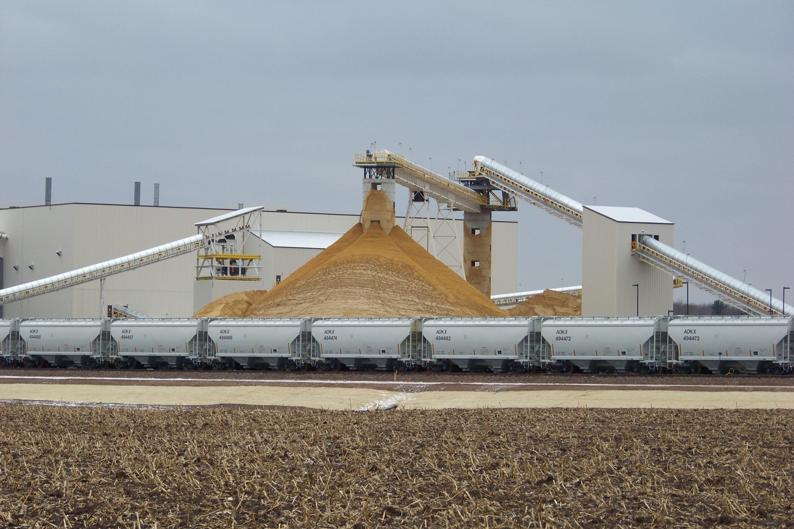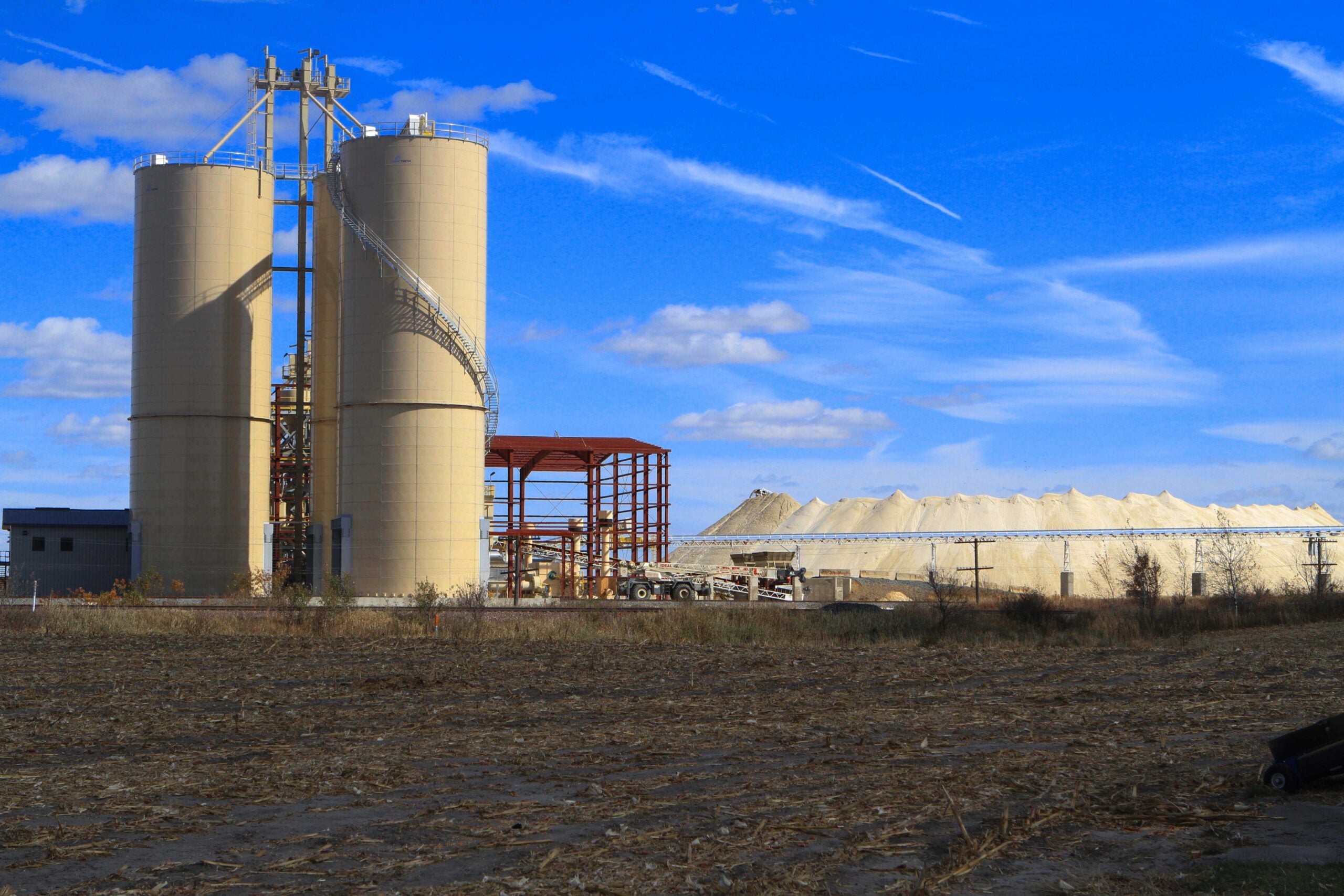
New data being gathered in western Chippewa County will help determine how frac sand mining and agriculture may impact groundwater levels, but the data-gathering process will take several years.
Chippewa County commissioned the groundwater study in 2012, after citizens voiced concerns about the combined effects of frac sand mines on agriculture. They worried that adding a number of high-capacity wells would draw down groundwater levels causing wells, rivers and streams to go dry. The county teamed up with the Department of Natural Resources, the Wisconsin Geological and Natural History Survey and the U.S. Geological Survey to map how the aquifer below the western part of the county works.
Hydrogeologist Mike Parsen says this is a first look into an area where sand mining has taken hold.
Stay informed on the latest news
Sign up for WPR’s email newsletter.
“So, although there was some general understanding, there hadn’t been a groundwater model that had been developed, and we were interested in just learning some new information,” Parsen said.
After two years of gathering data from nearly 1,000 well records, researchers now have a three-dimensional computer model of how the groundwater flows and how it gets replenished. Parsen says now they can use the program to test how drought conditions combined with the high-capacity wells may impact surface waters.
“We’re just now trying to get into the stage of quantifying the amount of water and looking at the impacts of adding new wells in certain areas, and what may be the impact to groundwater levels as well as discharge to streams from groundwater,” he said.
The Chippewa County study area has 57 high-capacity wells, half of which are for watering crops, with only five used for processing frac sand. The study will be completed by 2017.
Wisconsin Public Radio, © Copyright 2024, Board of Regents of the University of Wisconsin System and Wisconsin Educational Communications Board.