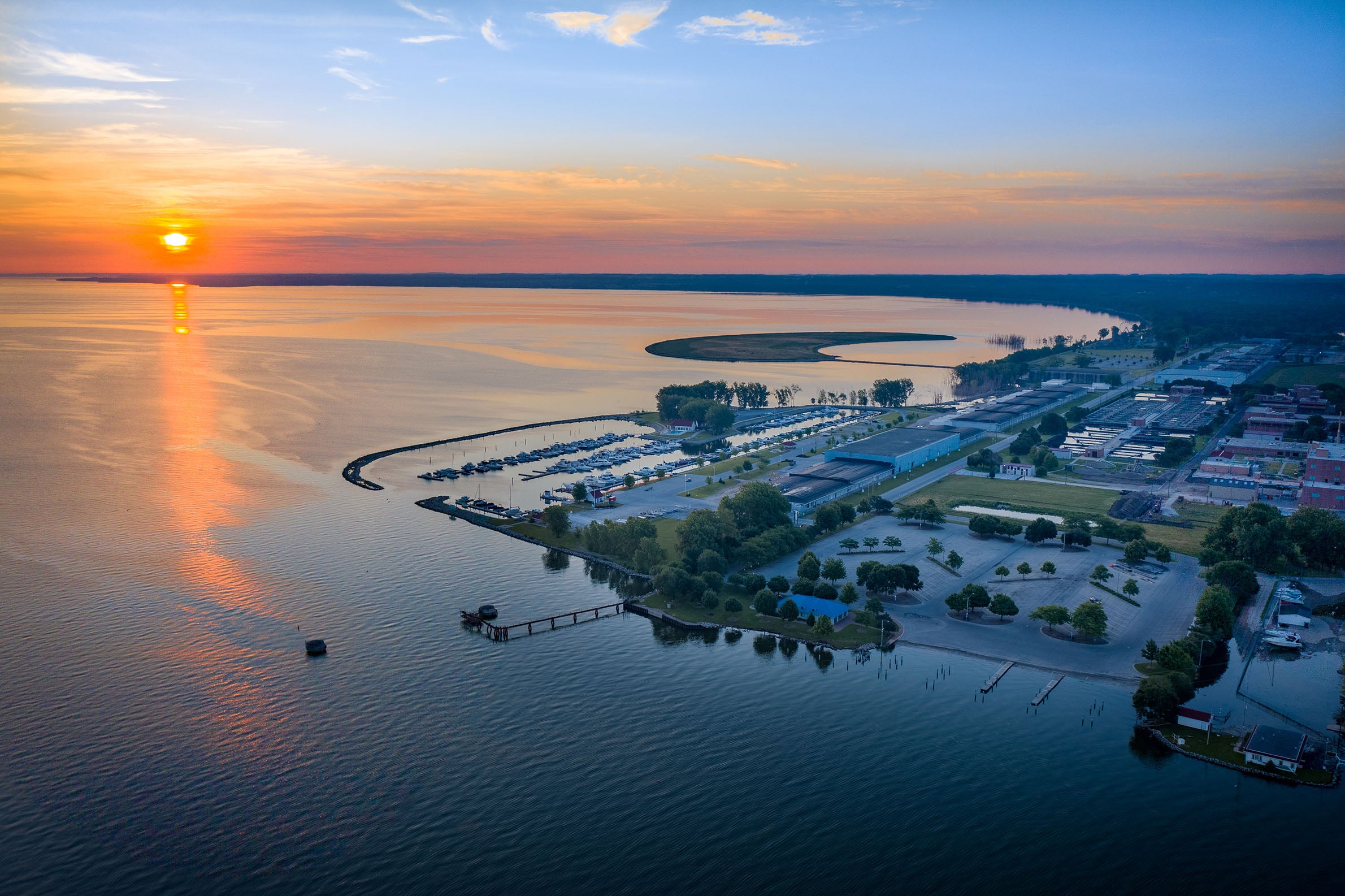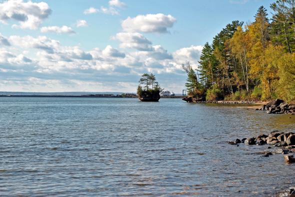
Researchers at Northland College in Ashland are trying to predict climate change impacts on the Chequamegon Bay but early results are showing just how difficult that is to gauge.
Randy Lehr, co-director of Northland’s new Center for Freshwater Innovation, said they’ve been monitoring water quality at 11 sites. He said their research is showing how much conditions near the shore vary over time.
“I wasn’t expecting it to be that complex, so trying to understand if you have this really complex system how do you study it? How do you measure water quality conditions to track if there are changes over time positive or negative?” he said.
Stay informed on the latest news
Sign up for WPR’s email newsletter.
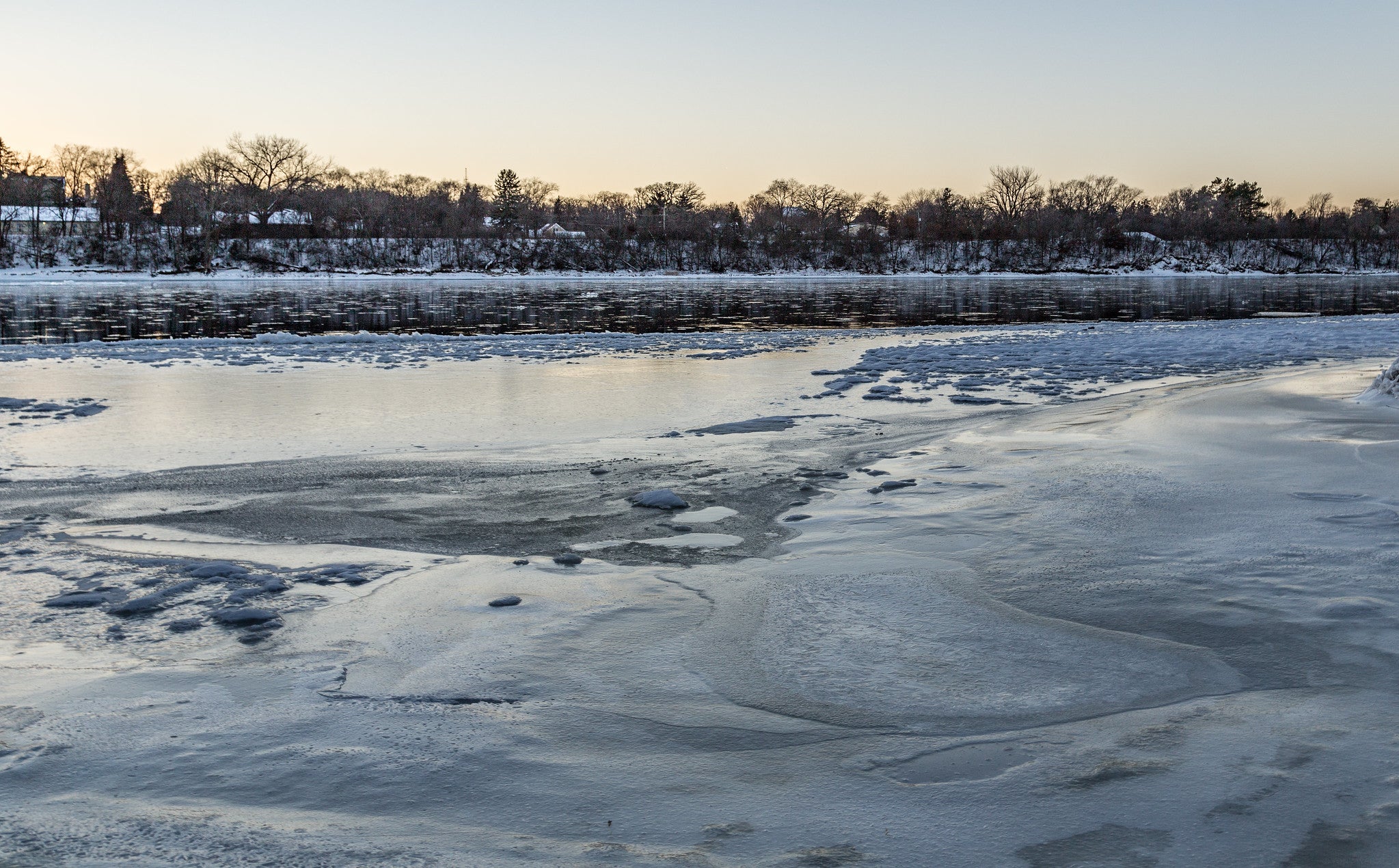
Lehr added that the weather affects waves and currents out in Lake Superior, which play a role in the overall health of areas near the shore.
But he said erosion and runoff from the land also need to be considered and that’s driven by rainfall patterns. He said meteorological data shows the area is likely to see more intense and frequent rainfalls over time.
Lehr also said that some of the project’s early findings show high phosphorous levels downstream from the site of what would be Wisconsin’s largest hog farm if built.
Iowa-based Reicks View Farms has plans for a 26,000 hog operation, which is expected to create roughly 9 million gallons of manure each year that will be spread on the landscape.
Lehr said one indirect finding of their research shows South Fish Creek has phosphorous concentrations that exceed state standards.
“It turns out now that the proposed site of the confined animal feeding operation is in South Fish Creek upstream of this,” he said. “So as you might expect, there’s a lot of interest to figure out where is the existing phosphorous coming from.”
Lehr cautioned that more research is needed and water quality varies greatly in the area. He said they’re examining satellite imagery to research land use patterns upstream from where they’ve been monitoring.
Wisconsin Public Radio, © Copyright 2024, Board of Regents of the University of Wisconsin System and Wisconsin Educational Communications Board.